Gila Valley NRCD
Conserving 2,373,993 acres of Arizona
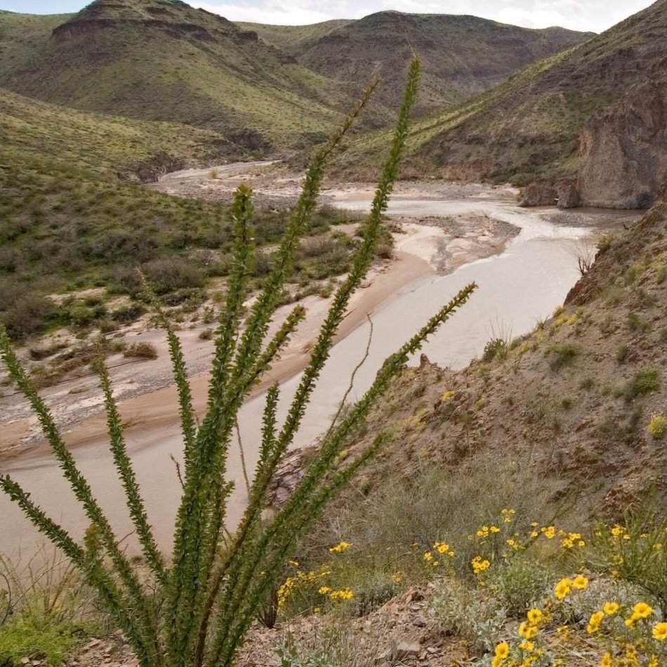
The Gila Valley NRCD serves the counties of Graham and Greenlee, located in southeastern Arizona. The District’s most defining feature is the Gila River, which runs directly through the area creating a diversity of landscapes, including high mountain ranges and low desert plains. The diverse landscape and climate create the prime location for fish, plant, and wildlife habitats along with abundant outdoor recreational and tourism opportunities. Located in the Gila Valley NRCD are the Apache Sitgreaves and Coronado National Forests, Gila Box Riparian National Conservation Area, Dankworth Pond Outdoor Archeological Classroom, Roper Lake State Park, Natural Hot Springs, Mt. Graham International Observatory, Discovery Park, Cluff Ranch Wildlife Area, Aravaipa Can-yon Wilderness Area, Hot Well Dunes Recreation Area, and Eagle Creek Bat Caves. A portion of the US Fish & Wildlife Mexican Grey Wolf Recovery Area is also located within the district.
-
What: Regular Meeting
When: November 3, 2025 @3:00 PM
Where: USDA Service Center Conference Room
267 N 8th Ave , Safford, AZ 85546
Agenda: click here
-
Draft November 2025
Gila Valley NRCD Conservation Action Plan
This document is a draft and is subject to review and edits.
Resource Concerns:
Water availability, Quantity, Quality
Soil Erosion & Soil Quality
Livestock Production Limitations
Inefficient Energy Use
Degraded Plant Condition
Noxious and Invasive Plants
Conservation Practices:
Improved Irrigation Management
Fencing/Grazing Management
Brush Control / Management
Water Distribution
Noxious & Invasive Plant Control
Vegetative Filter Strip
Solar Powered livestock watering system
Coordinated Conservation Management Ranch Planning
Coordinated Conservation Partnership Imitative (CCPI)
CREIP-Solar Improvement Program
Board of Supervisors
Justin Layton, Chair
Scott Alder, Vice Chair
Larry Barney, Secretary
Gil Bowman, Treasurer
Kyle Lackner, Supervisor
Amy Herbert, Clerk
Contact Info
Amy Herbert
PC: Visit Arizona